What is a food desert?

It's not a desert built out of food, as these Carl Warner photos might lead you to believe.
A food desert is
an area where people have limited access to a variety of healthy and affordable food.
Dutko et al.
|
The term “food desert” was coined in the UK in the mid-nineties and has since spread among academics, policy makers, and community groups around the world.
Learning about food deserts helps us understand how poverty can negatively affect health. Cummins and Macintyre
|
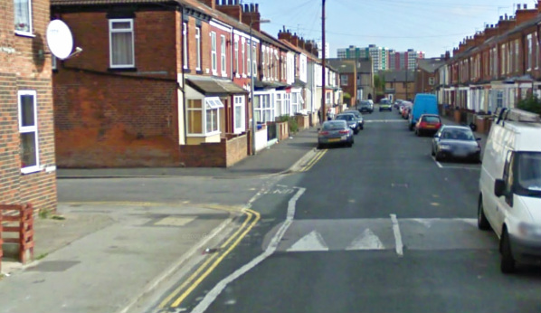
A British food desert.
|
How do you get your food?
Fresh food
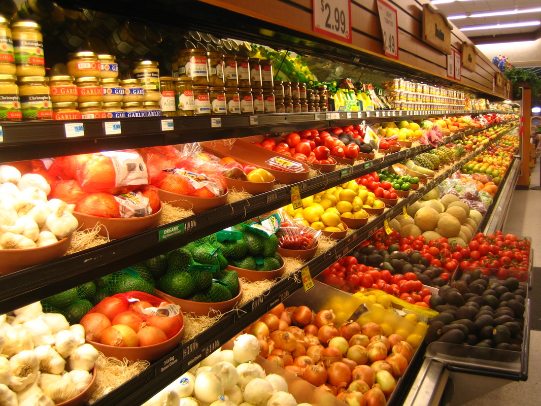
Do you go to a supermarket or grocery store to buy fresh food? Food deserts are characterized by the absence of stores like this within walking distance. Most people who live in food deserts do not own cars that they can drive to stores farther away. Depending on location, public transportation might be available, but it may not always be reliable.
|


Do you order fresh food from a delivery service like FreshDirect, Peapod, or AmazonFresh? This is probably not affordable for those in food deserts. Also, services like this often require customers to have internet access and a credit or debit card.
|
|
Prepared food
The type of restaurant that usually appears in a food desert sells low-priced, high-calorie fast food.

|
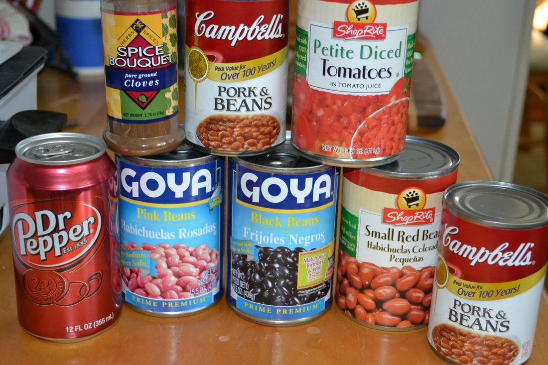
Packaged food
Packaged food can be sold in convenience stores and other locations besides grocery stores. It keeps longer and doesn’t take as much time or effort to prepare than fresh food.
|
How do food deserts affect health?
Within the last five years, Michelle Obama's Let's Move campaign against childhood obesity has helped the term "food desert" enter the common vernacular. The First Lady's initiative to eliminate food deserts is based on the idea that they are linked with obesity because of the type of food that's available to the people living there. A lack of access to healthy food, and a dependence on fast food, contribute to weight gain in children.
Yaccino
|
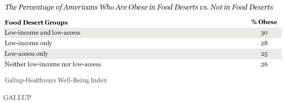
Yet a recent Gallup study revealed that of the two qualifications for food deserts (that is, low income and low access to supermarkets), low income had a
greater impact on obesity. McGeeney and Mendez
|
|
But no matter the root cause of the endemic obesity in these neighborhoods, it is clear that a problem exists. Obesity can lead to diabetes, heart disease, high blood pressure, and increased risk for certain cancers. Obese children are more likely to be obese as adults.
NHLBI
Where are food deserts in the United States?
|
The USDA's Economic Research Service has compiled a wide variety of data relevant to food access in the US. These statistics have been visualized in the Food Environment Atlas, an interactive map with informative overlays which can be toggled on and off.
The Food Access Research Atlas has a narrower variety of types of data, but is specific on the census tract level.
|
The maps with the orange overlay below show census tracts which are low income and in which a significant number of residents are more than 0.5 mi (urban) or 10 mi (rural) from the nearest supermarket.
